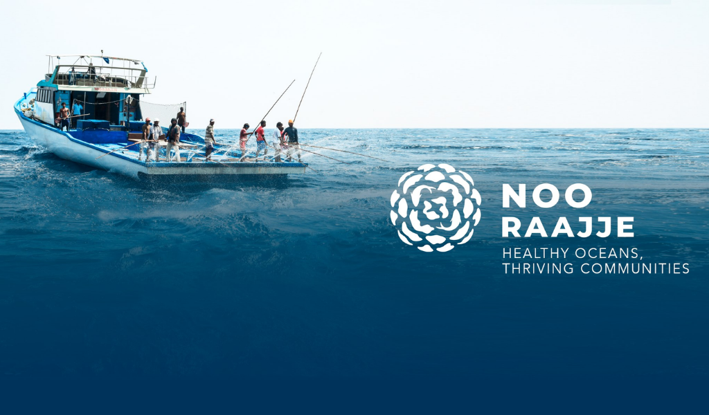
‘Ocean Use Survey’ Kicks Off By Noo Raajje’ Around Maldives
On November 29th, Noo Raajje’ began a three-day Ocean Use Survey facilitator training for their OUS facilitators, who will be collecting responses from thousands of people around the country working in various sectors of the economy to learn how they use and value ocean space.
Respondents are asked to indicate areas of the maritime environment that they value or use in the Ocean Use Survey, which is a participatory mapping project. The results of this survey will be used to help design the Maldives Marine Spatial Plan.
The survey that has kicked off will take place for 6 months where the Respondents will survey with fishermen, individuals, tourism industry and different communities where important areas will be identified and made easy to protect and manage the marine life around the Maldives.
Once all the data has been collected, it will be used to create heat maps that will identify the commonly used spots by the communities through ‘SeasCatch’ tool by University of California, Santa Barbara Lab.
Speaking to the media about the survey, the Minister of Fisheries, Marine Resources and Agriculture, Dr.Hussain Rasheed urged the public to take part in the survey in order to enhance and identify the commonly used areas around the country. He stressed that this information will be highly used by the next generations to come for the sustainable use of Maldivian Marine Resources.