Did You Know That the Oldest Surviving Map of Male’ City is A Century Old?
The historical collection of artefacts in the Maldives National Museum holds treasures for those who love travelling back in time. Six of the oldest maps ever created on what we know now as the Male’ City has been published online so, we are taking a quick tour.
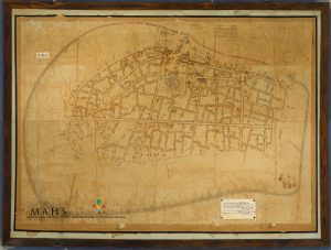
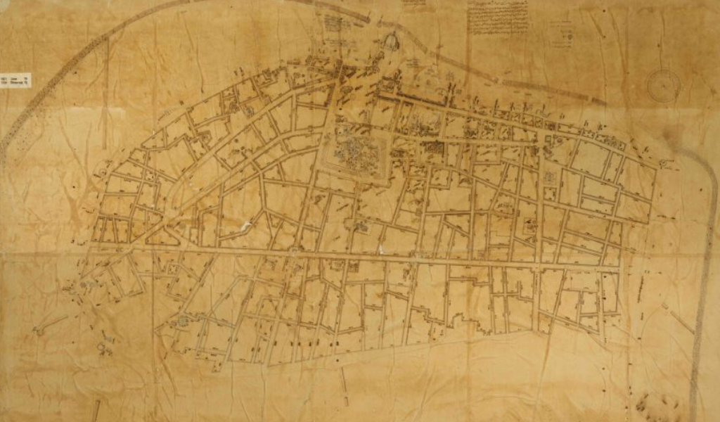
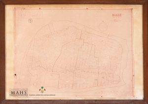
One hundred years ago, the first ever documented complete map of Male’ was published on June 22, 1921. It was the 19th reign of Sultan Muhammad Shams al-Din III. Four surveyors, Dhon Thuthu (Ibrahim Maafaiy Thakurufaanu), Bodufulhagge Ibrahim Maniku, Kuda Thuthu and Ahmed Maniku worked on drawing this map with traditional Maldivian ink. Detailed over the years with dates and names of those involved, it is believed that the original map was glued and framed onto plywood backing in 1988.
The second set of a map was based on the map of 1921, and was produced soon after the first – during the 21st year of the second reign of Sultan Muhammad Shams al-Din III. Though faded, it signifies a 2-D copy done specifically to accommodate a request by H.C.P. Bell for materials to use in his landmark study of the Maldives.
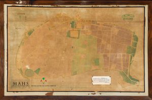
In 1950, a colored map of Male was introduced. Commissioned by Mohamed Amin Didi during his presidency, this is the oldest color-coded map of Malé, with demarcations for each ward of the capital city island, as well as for 18 distinct types of features. On this map, Kuda Malé – which was in the previous two maps – is not shown.
The Land Registration Division created the fourth map of Male’ in 1978. This map indicates the changing city limits of three historical moments: 1950, 1978 and 1986. It traces the changing contours of the city over the middle decades of the twentieth century with the addition of new blocks on the newly reclaimed land across the island.
A possible additional map is also recorded in 1986 which was mentioned in a legend on the 1978 map. This map outlines block numbers and names all the roads along with the houses.
The sixth historical map remains undated but the detailing shows development on all the previously recorded maps. This hand-drawn map visualizes land reclamation carried out in the 80’s and later.